The Course
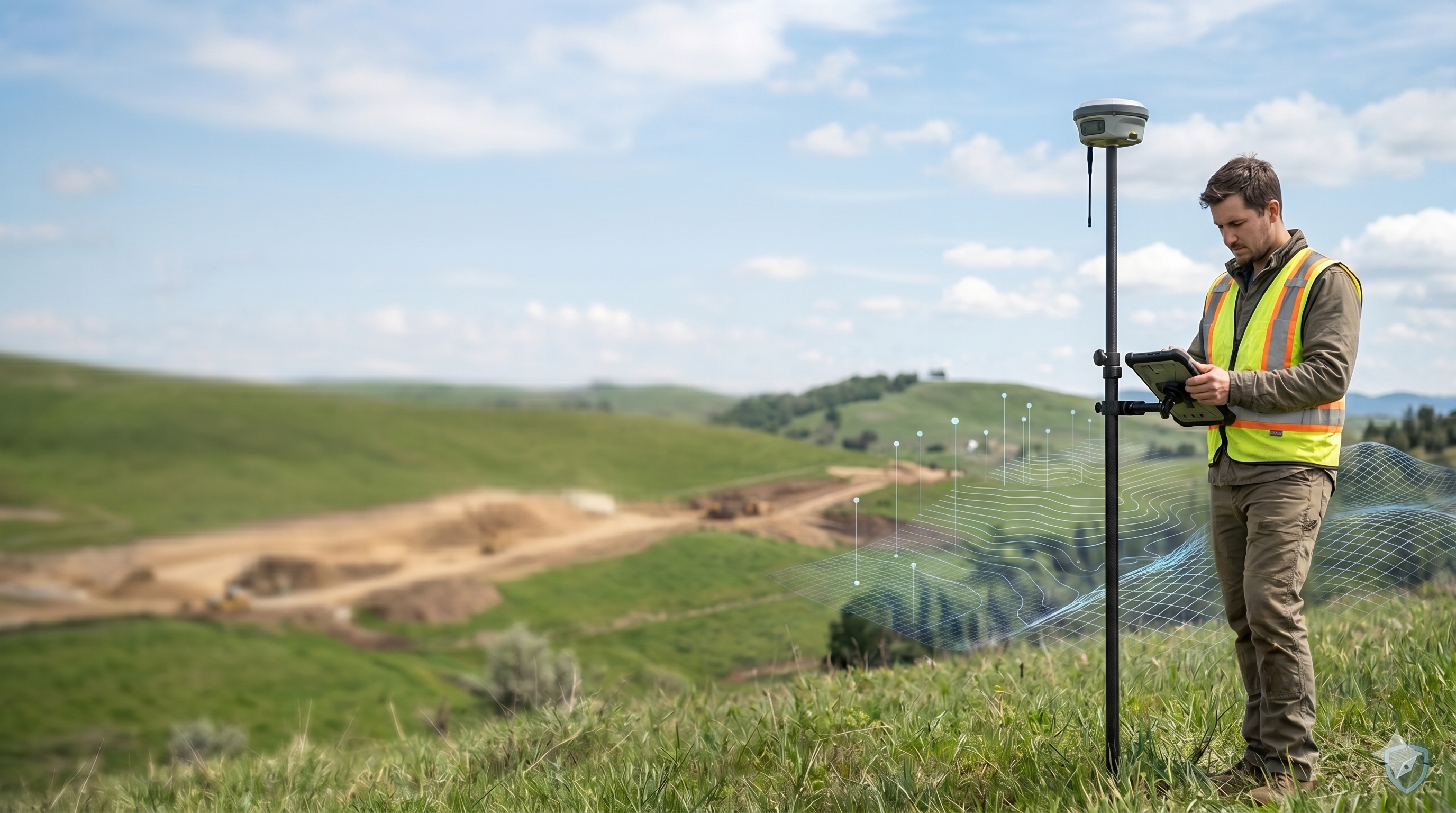
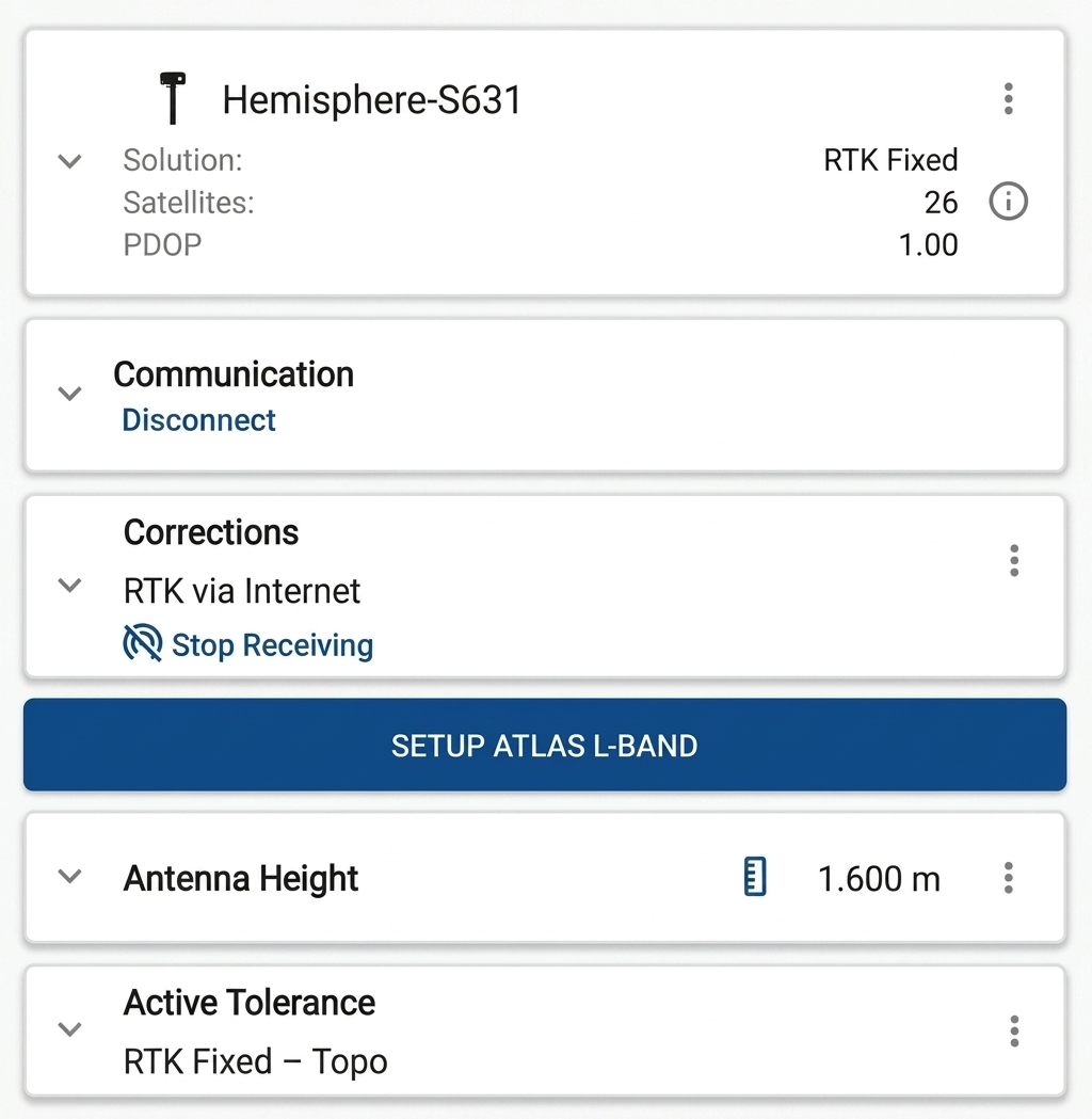
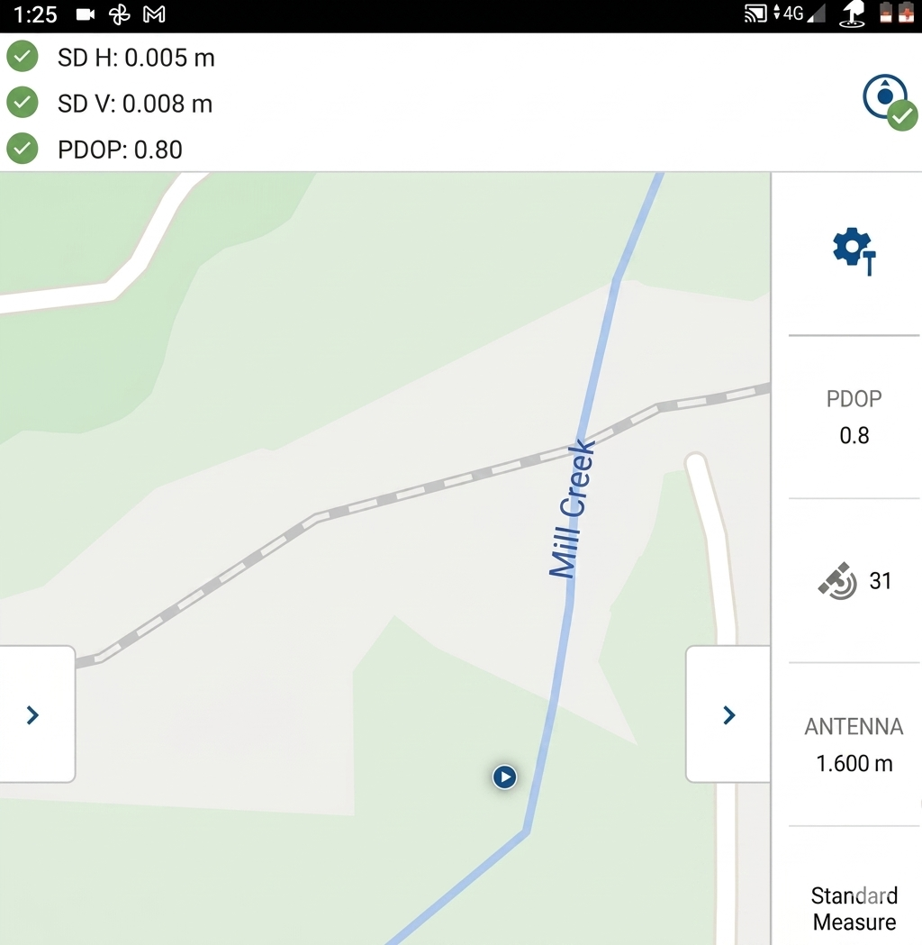
Get a clear, practical walkthrough of using FieldGenius with a network-connected GNSS rover to perform topographic surveys. You’ll set up NTRIP connections, configure coordinate systems and geoids, set antenna heights, and build code lists for efficient feature collection and linework. We’ll practice field procedures for collecting points and lines, run real-time QA/QC checks (RTK solution monitoring, measurement quality, error checking), and finish with a visually pleasing map that exports to CAD or GIS.
The payoff is faster, centimeter-level results without a local base, fewer revisits, and deliverables your clients can drop straight into design workflows. You’ll be ready to map sites for land development, utilities and as-builts, road corridors and earthworks, and even asset inventories for GIS. Along the way we’ll share troubleshooting tips that allow you to diagnose common technical issues and select between a variety of measurement modes that enhance efficiency so your work stays accurate and defensible in the real world.
What you will learn
I started this course by breaking the GNSS rover workflow into bite-sized, field-first steps you can follow the same day. The lessons are organized in the exact order you’ll use on the job—prep, network connection, topo collection, QA/QC, and export—so nothing feels random or overwhelming. You’ll build confidence quickly, cut setup time, avoid the most common field errors, and produce clean, survey-ready points and linework. Don't just learn the procedures but understand WHY you use a variety of procedures and tools to become fast, efficient and reliable when using FieldGenius.
Select any lesson marked PREVIEW if you want to get a feel for how we teach. Enroll in the full curriculum to earn certification and to learn how to build efficient workflows.
Curriculum
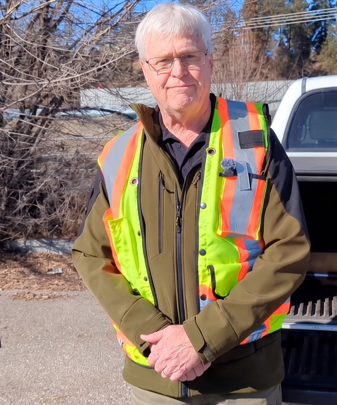
Your instructor
I’m the Support and Training Manager at MicroSurvey, specializing in GNSS and Least Squares adjustment. My background spans field and office work—configuring RTK/NTRIP, handling coordinate systems and geoids, and turning raw GNSS observations into reliable results—so I teach what actually works when the pressure’s on.
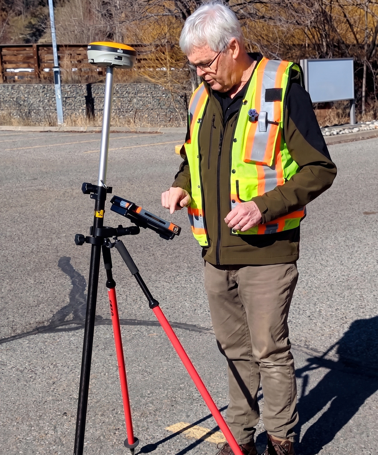
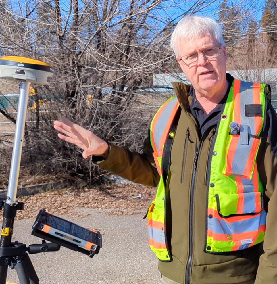
In 1-1: Network Rover GNSS TOPO Workflow, I focus on clear, repeatable steps: setup and initialization, field checks, feature coding, QA/QC, and clean handoff to the office. I’m passionate about helping crews get consistent, centimeter-level results and avoid common pitfalls with practical workflows you can use the very next day. Connect with me: Linkedin Profile
Comprehensive
A complete guide to using a Network Rover GNSS for collecting Topographic data
Practical
Field-ready methods for rapid, reliable mapping
Advanced
Expert techniques to optimize efficiency
Get Started Now
Learn the full network rover topo workflow with FieldGenius: setup, point collection, and data management for reliable, centimeter-level accuracy.